Geodetic aerial photography
For Aerial Imagery we use Geoscan-201 unmanned aerial vehicles (UAVs) and DJI Phantom4 drones. Our aerial surveyors are licensed as remote pilots and each flight shall be authorised by the Civil Aviation Committee. Our aerial surveyors have extensive experience in various projects.
Our aerial surveys:
– Aerial Imagery of the city of Kapchagai in order to expand the boundaries of the city;
– Aerial Imagery of the lands added to the city of Almaty;
– Aerial Imagery of the Kacharsky open pit and dumps in the Kostanay Oblast;
– Aerial Imagery of the villages of Lepsy, Koktuma, Beskol, Zhaipak, the coast of the lake Alakol for master plans development;
– Aerial Imagery for construction of the Pokatilovsky water reservoir on the Baskan River with the barrage power station in the Almaty Oblast;
– Engineering and geodetic surveys – Aerial Imagery on a scale of 1:2000 for development of master plans of settlements and Detailed Planning Design in Almaty Oblast for 2015 (5 villages of Kerbulak Raion);
– Aerial Imagery of the surface and previous boreholes referencing at the Samarskoye deposit in the Karaganda Oblast using unmanned aerial vehicles (UAVs). Samarskoye deposit in the Karaganda Oblast, and many other projects.
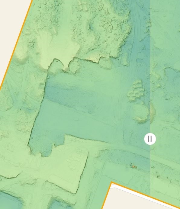
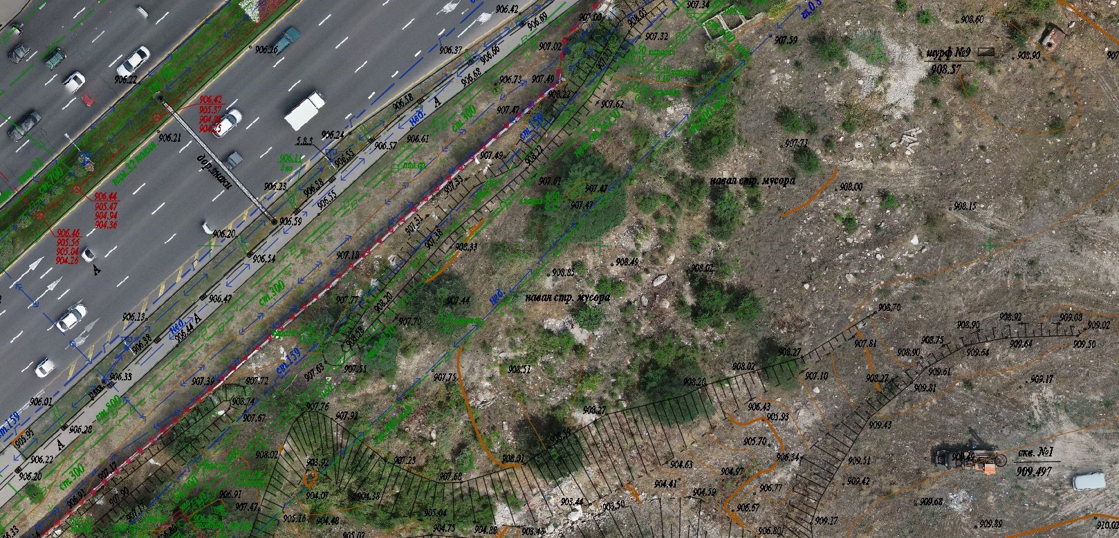
During Aerial Imagery we use a GNSS receiver on board the drone. It allows achieving an accuracy of UP TO 5 CENTIMETERS, depending on the accuracy requirements. Below are part plans of survey images of different accuracy:
IMAGE WITH 3 CM ACCURACY

IMAGE WITH 5 CM ACCURACY
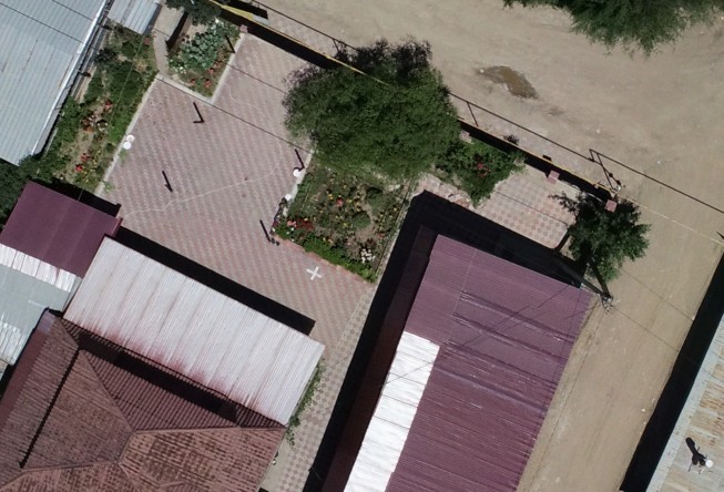
IMAGE WITH 10 CM ACCURACY
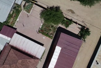
IMAGE WITH 20 CM ACCURACY

SATELLITE IMAGE WITH 50 CM ACCURACY

(THE SAME IMAGES WILL BE ATTACHED AS A POWER POINT FILE)
Aerial images may be used as a standalone product, for example, for viewing large areas. Also, these data may be used for the following:
– Aerial surveys for creating a 3D terrain model
– Aerial survey for topographic mapping
– Aerial survey for regular monitoring of earthworks